The Route
Aigle to Grosse Scheidegg
Start to CP1
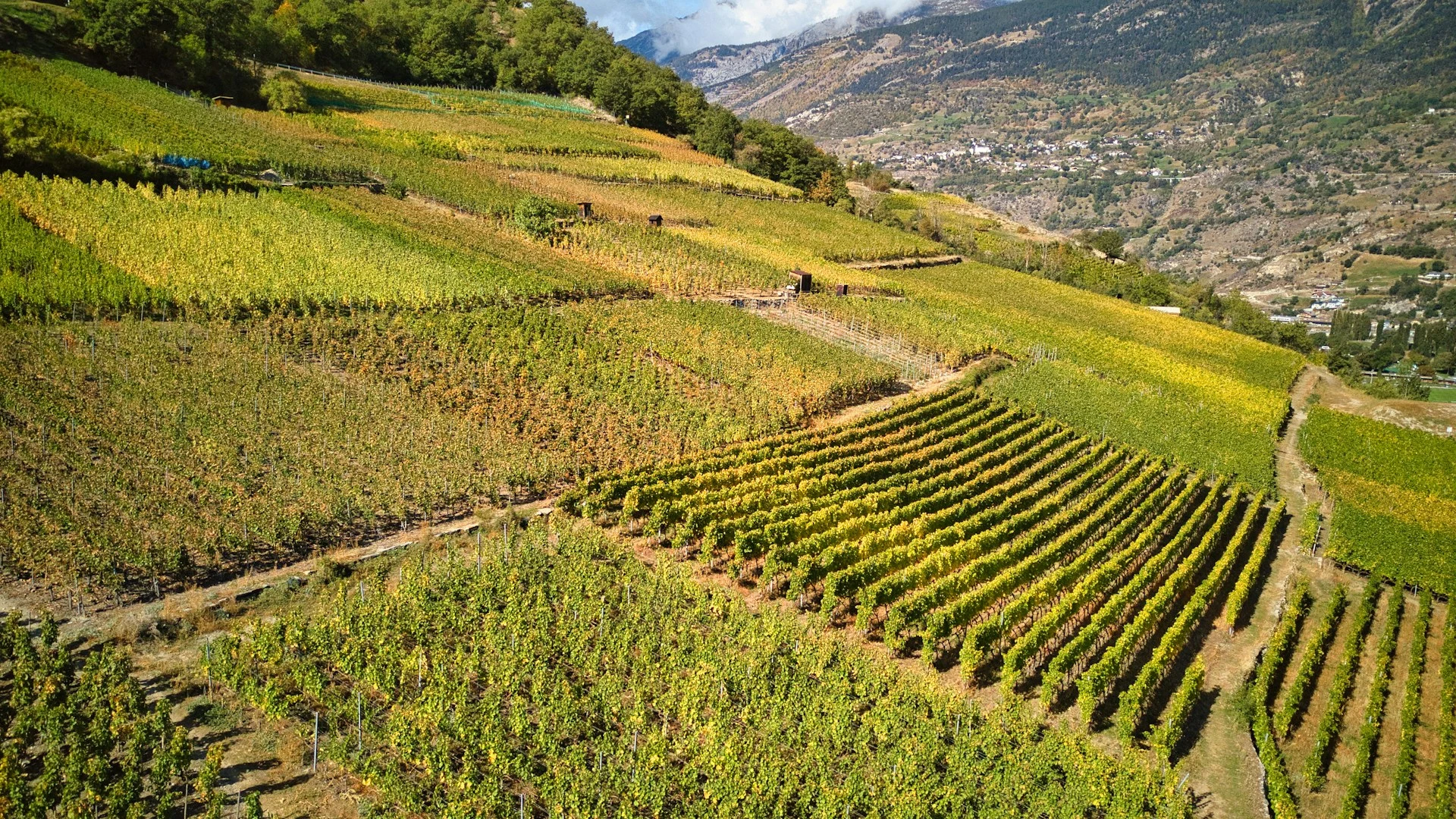
Rhône Valley
Sanetsch Pass
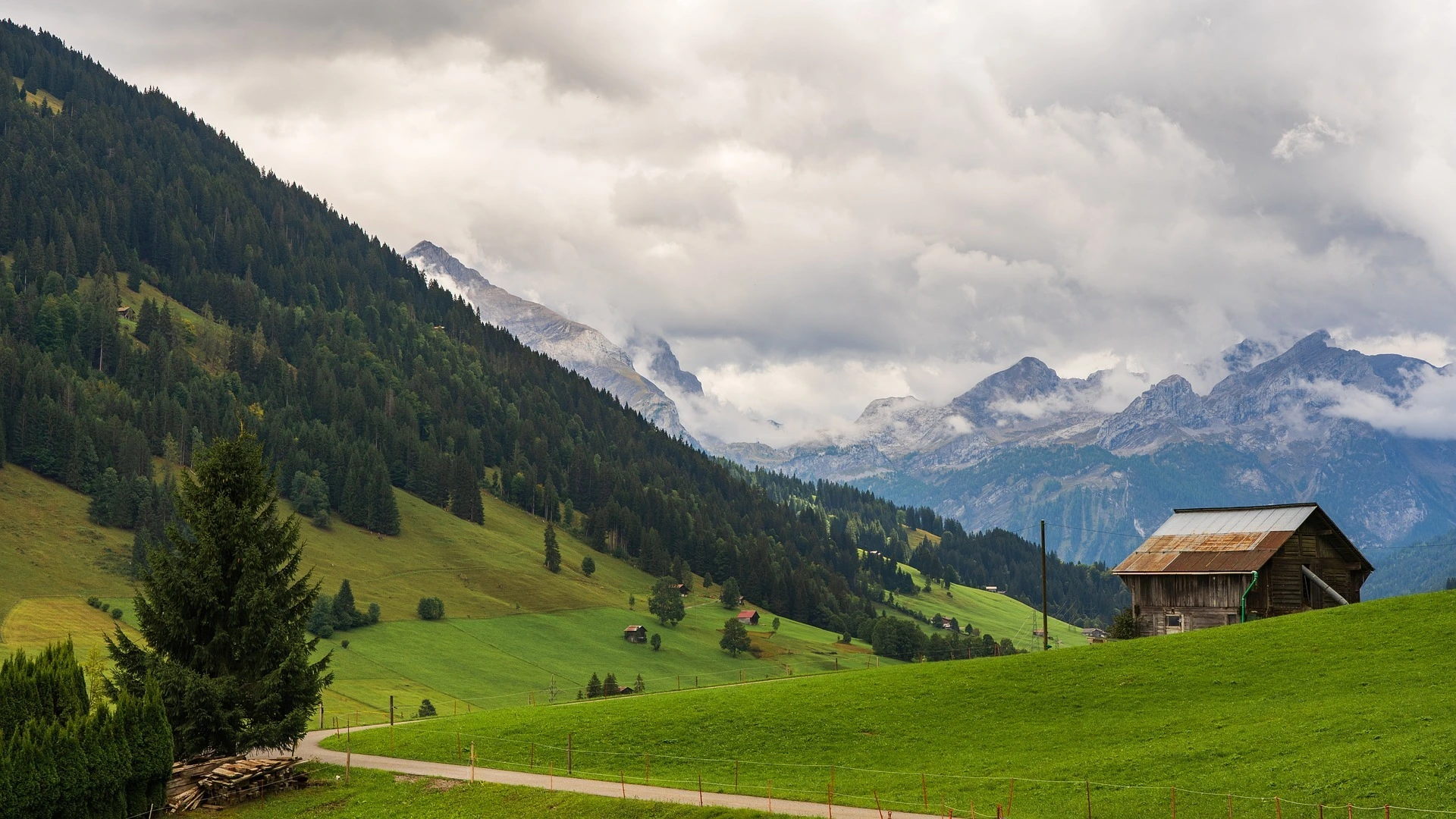
Gstaad
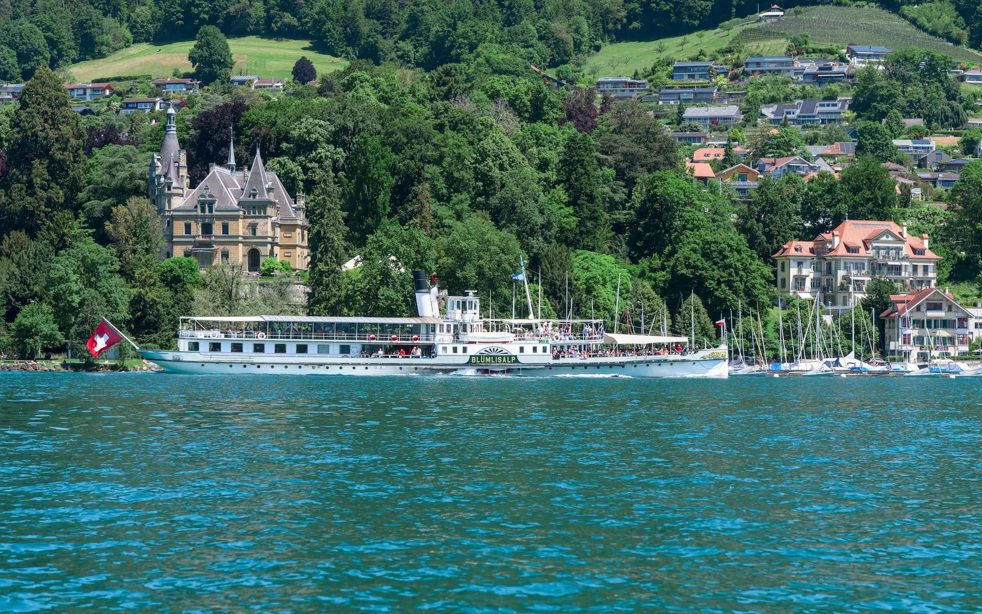
Lake Thun
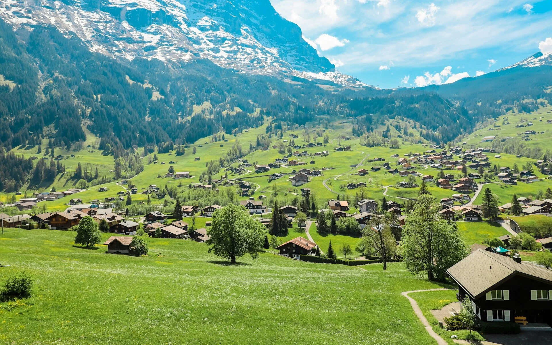
Grindelwald
Grosse Scheidegg
Grosse Scheidegg to Sonogno
CP1 to CP2
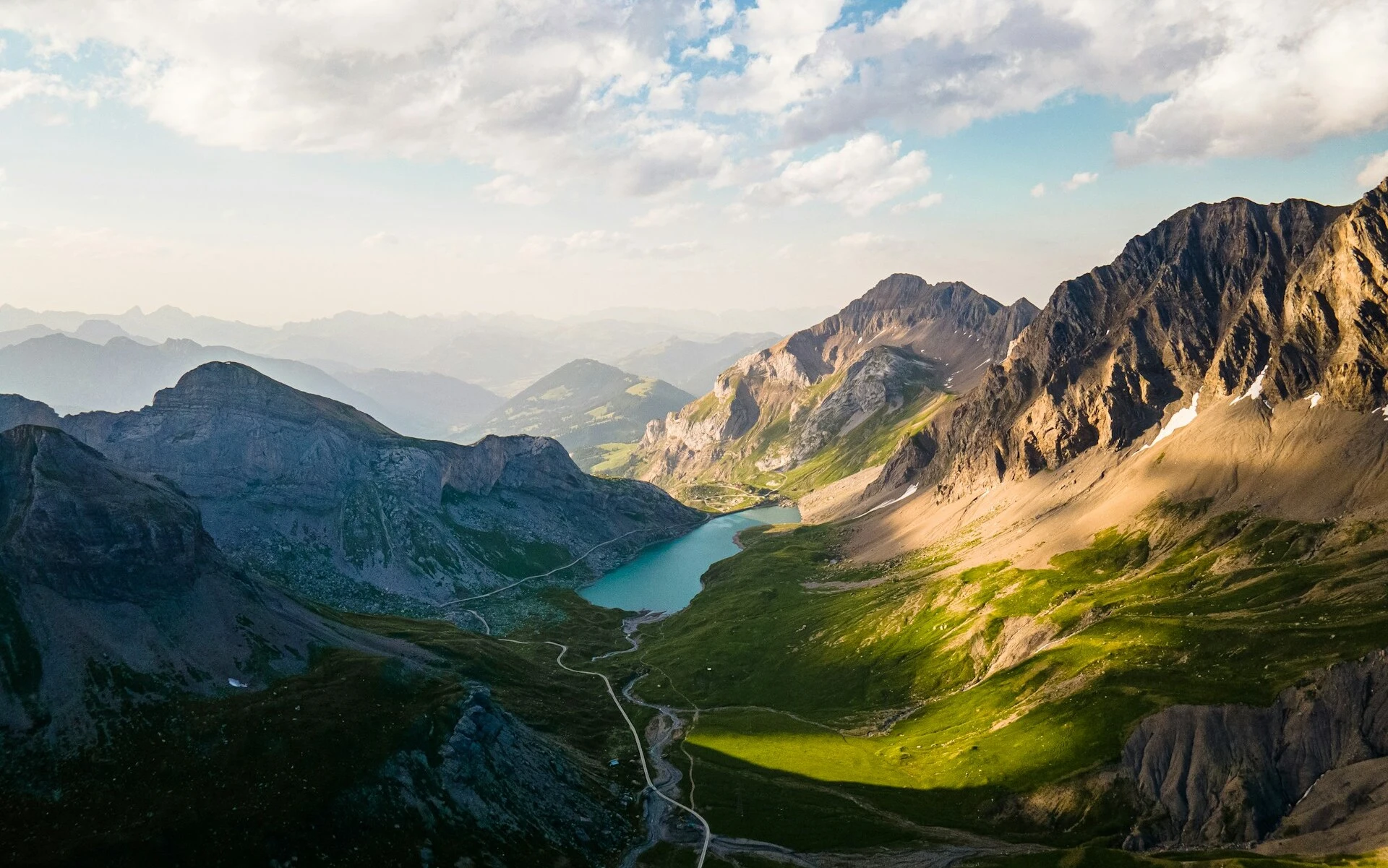
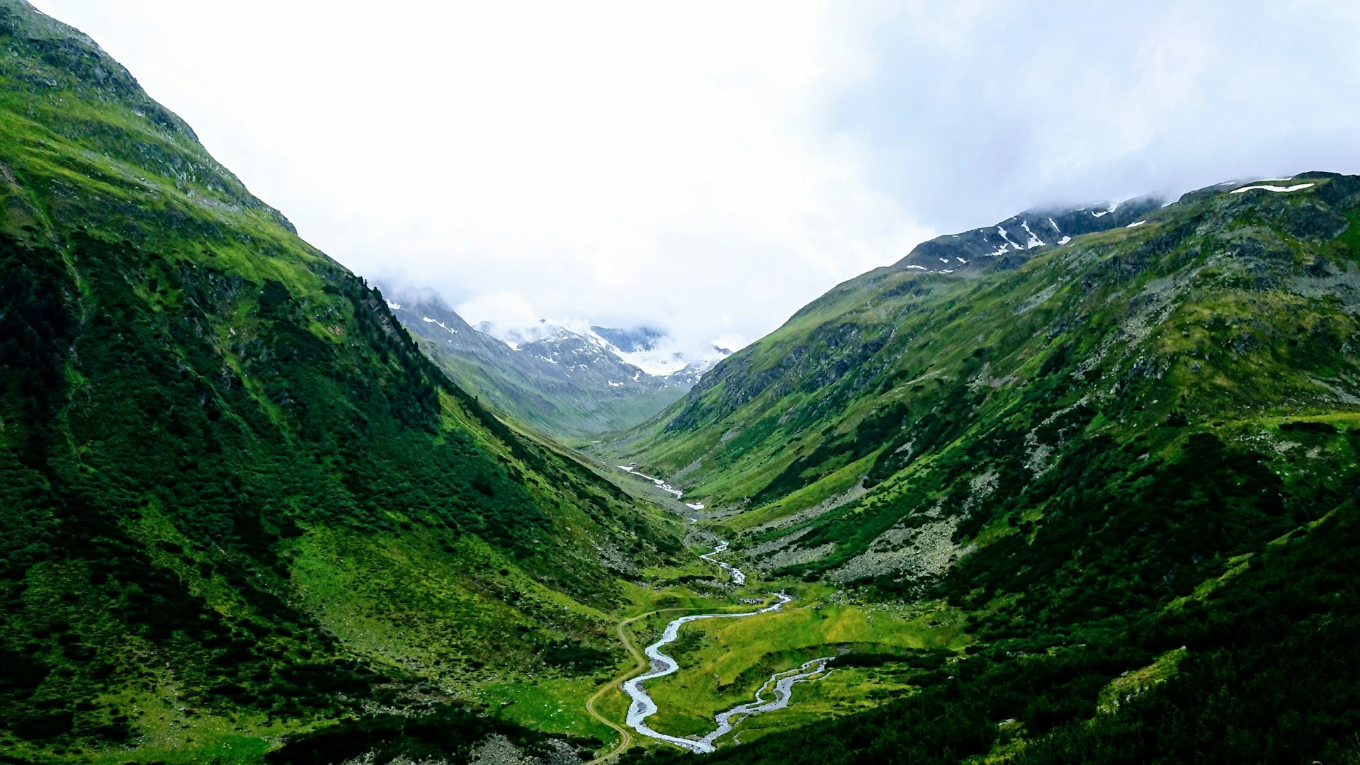
Grimsel Pass
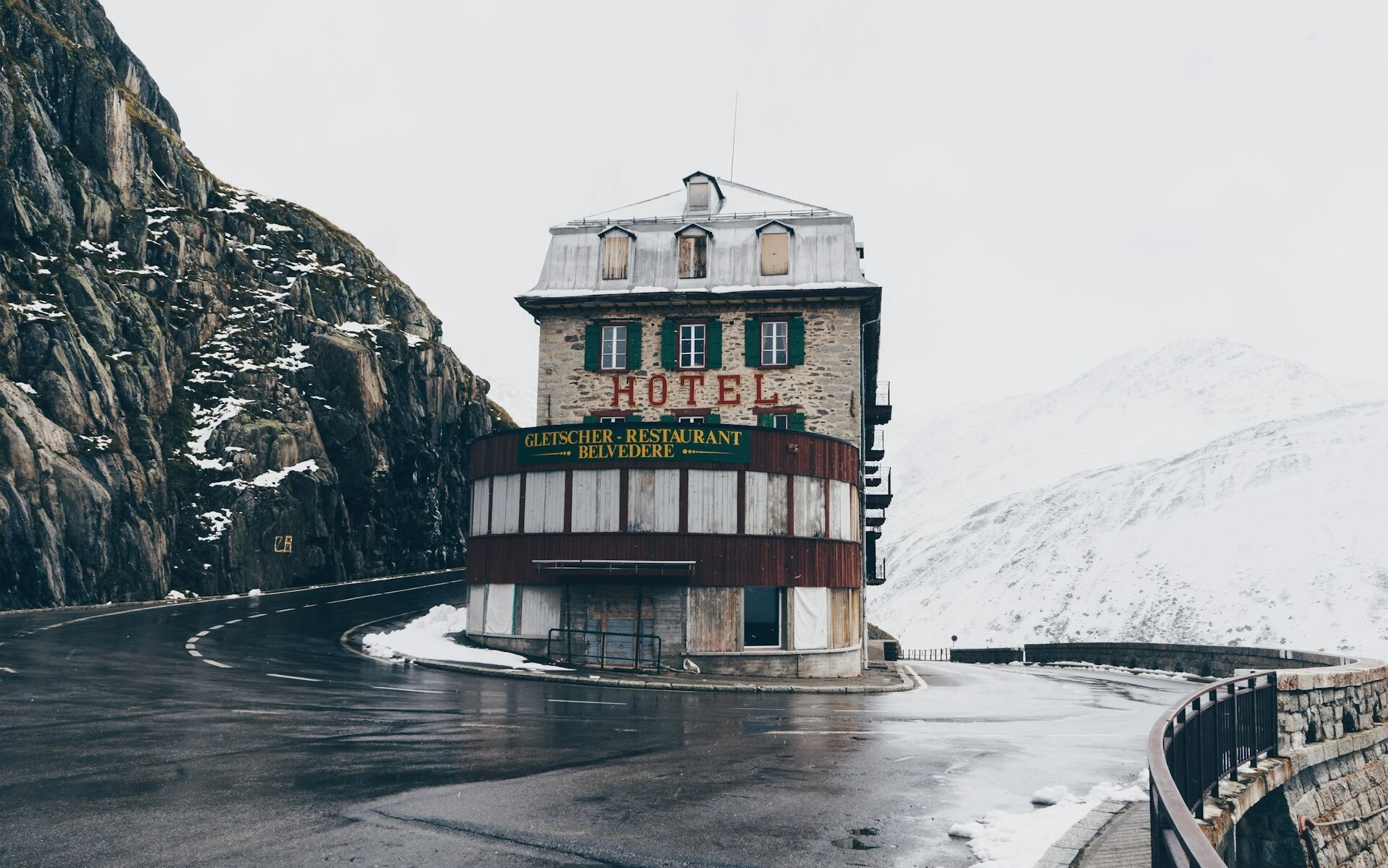
Furka Pass
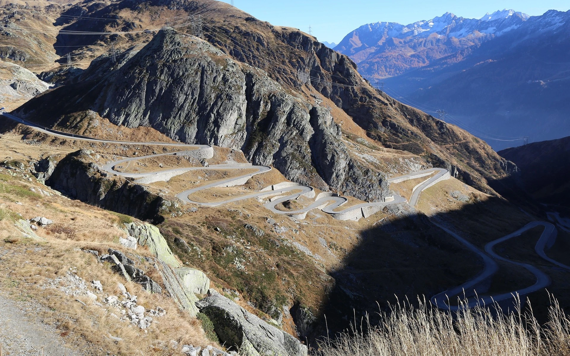
St. Gotthard Pass
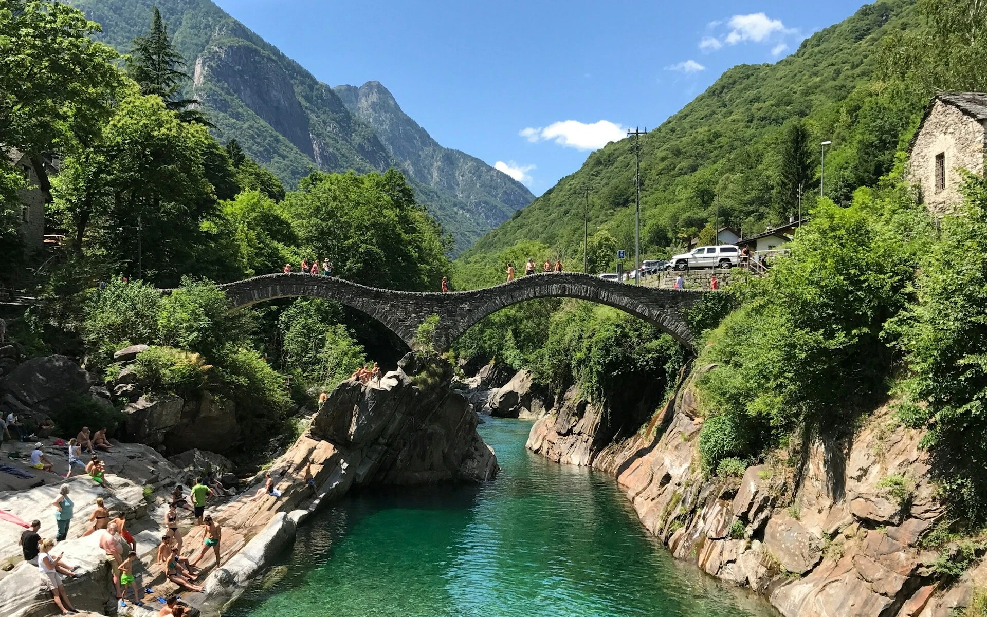
Verzasca Valley
Sonogno to Oberalp Pass
CP2 to CP3
San Bernardino Pass
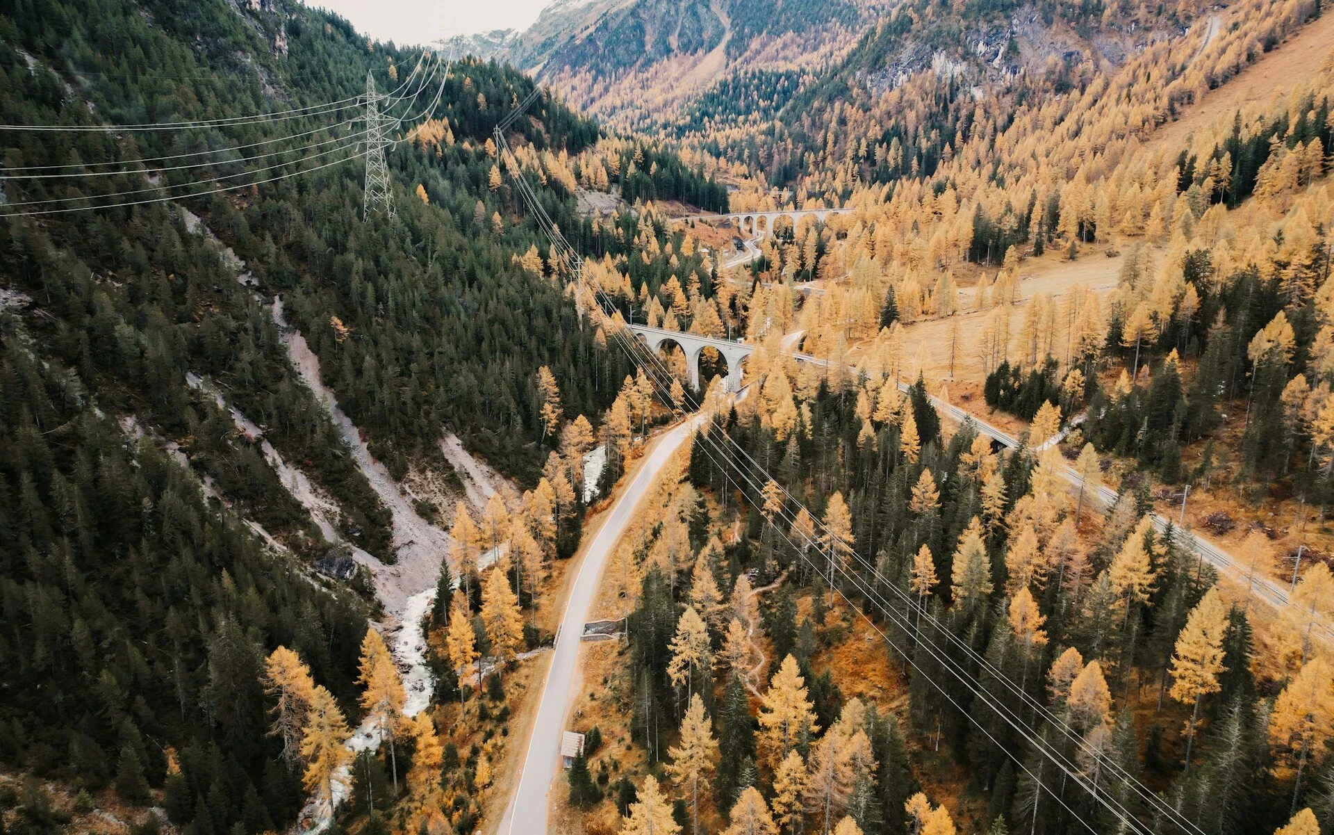
Albula Pass
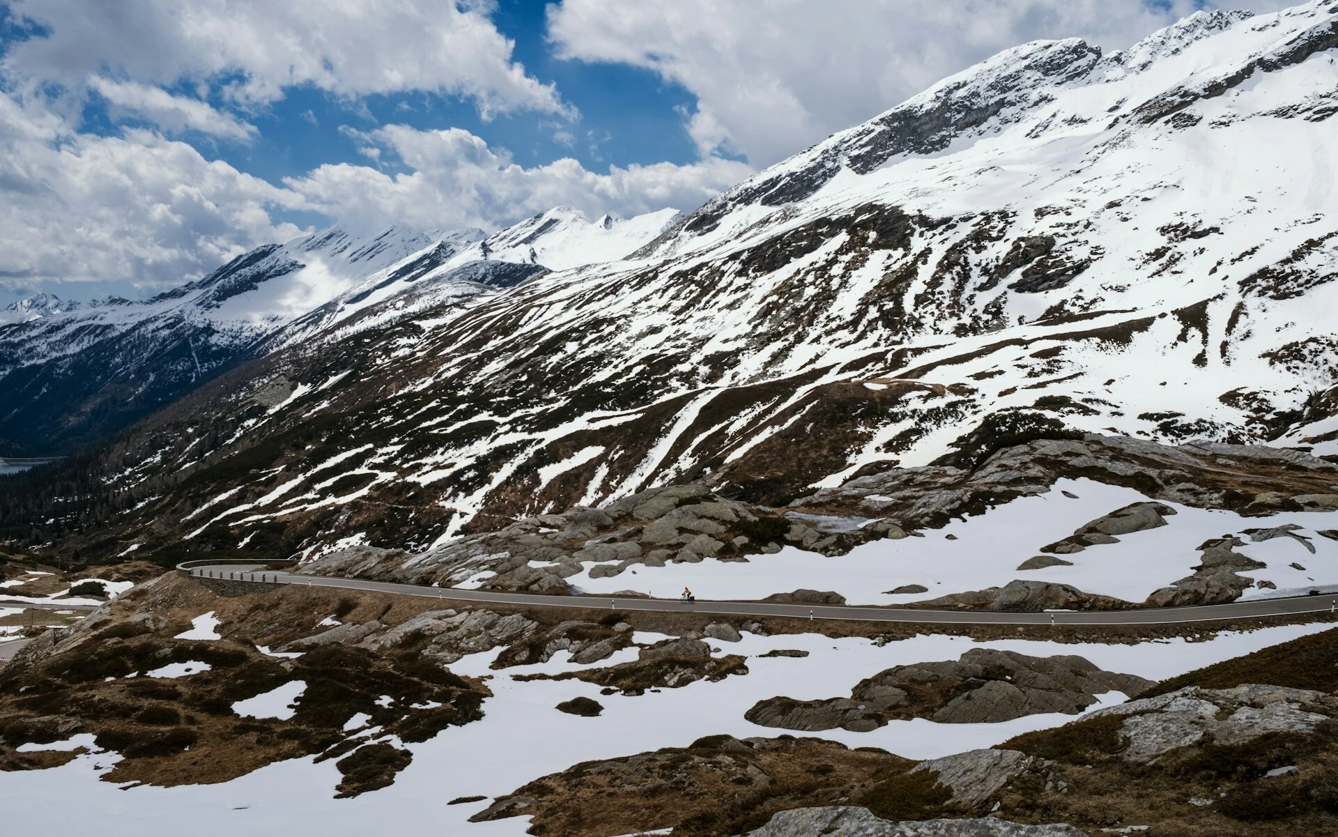
Flüela Pass
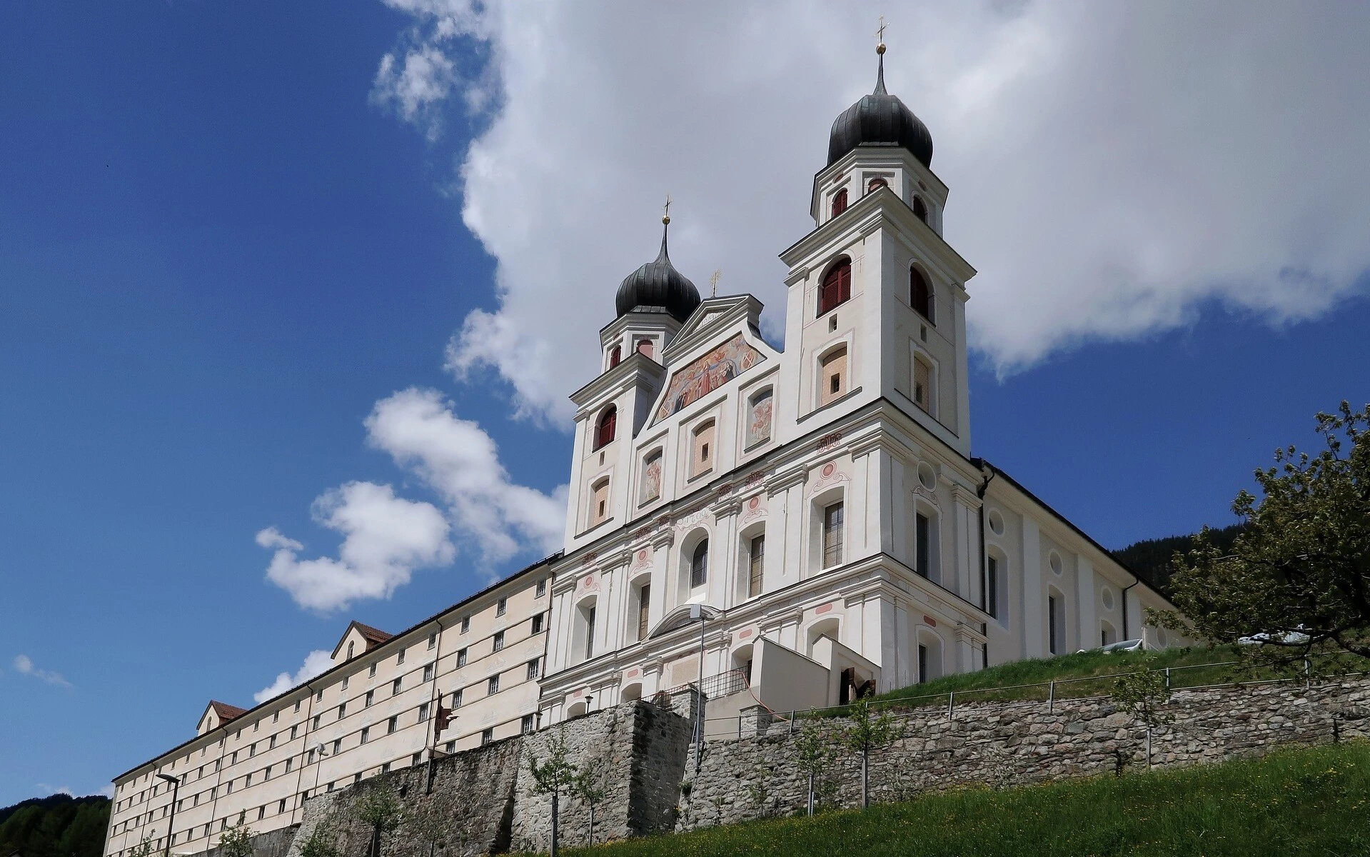
Disentis
Oberalp Pass
Oberalp Pass to Seealpsee
CP3 to Finish
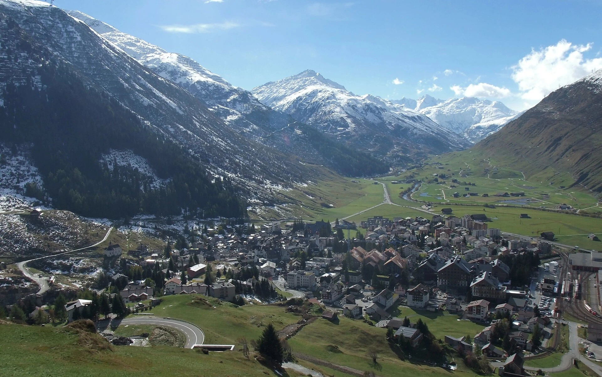
Andermatt
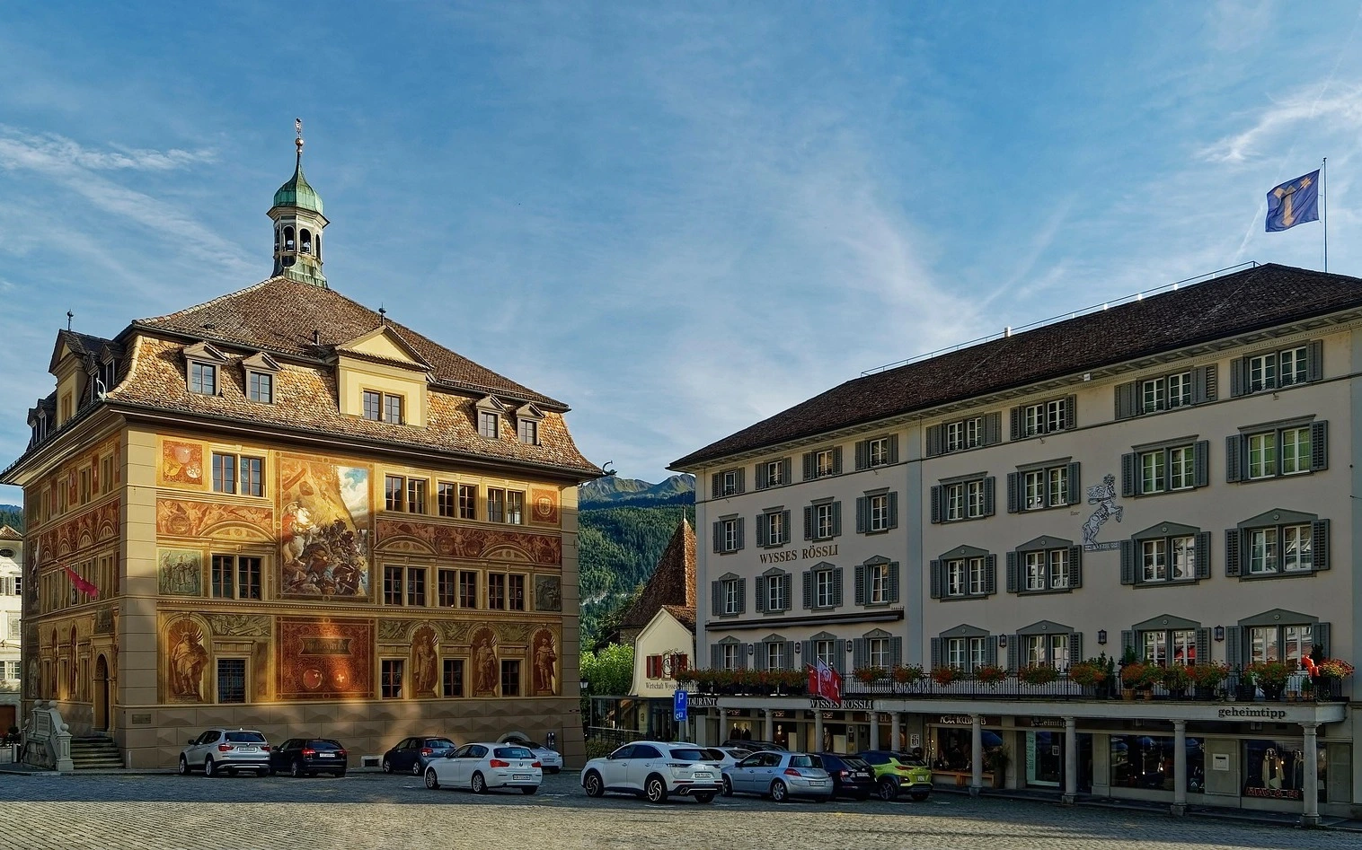
Schwyz
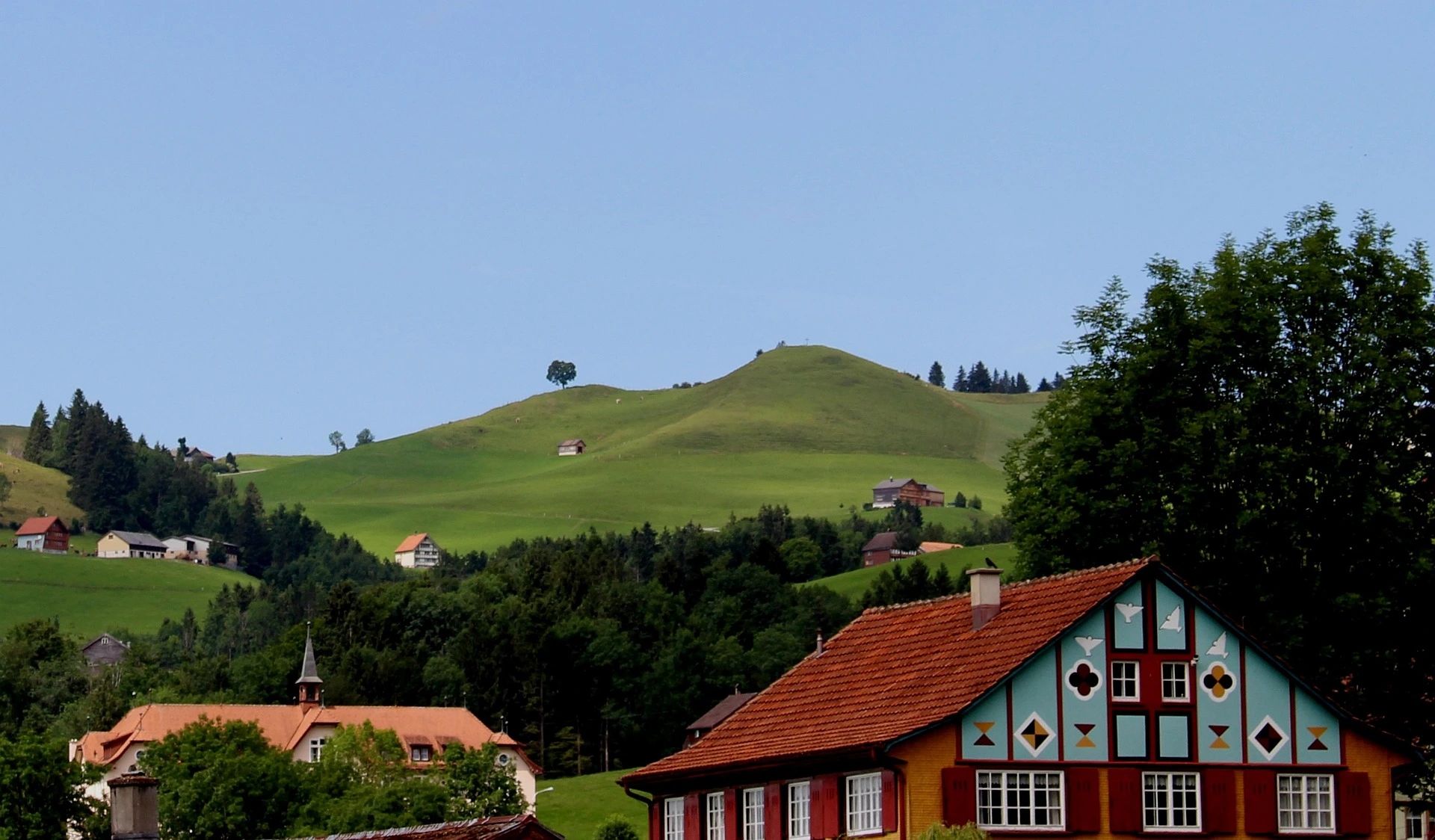
Appenzell
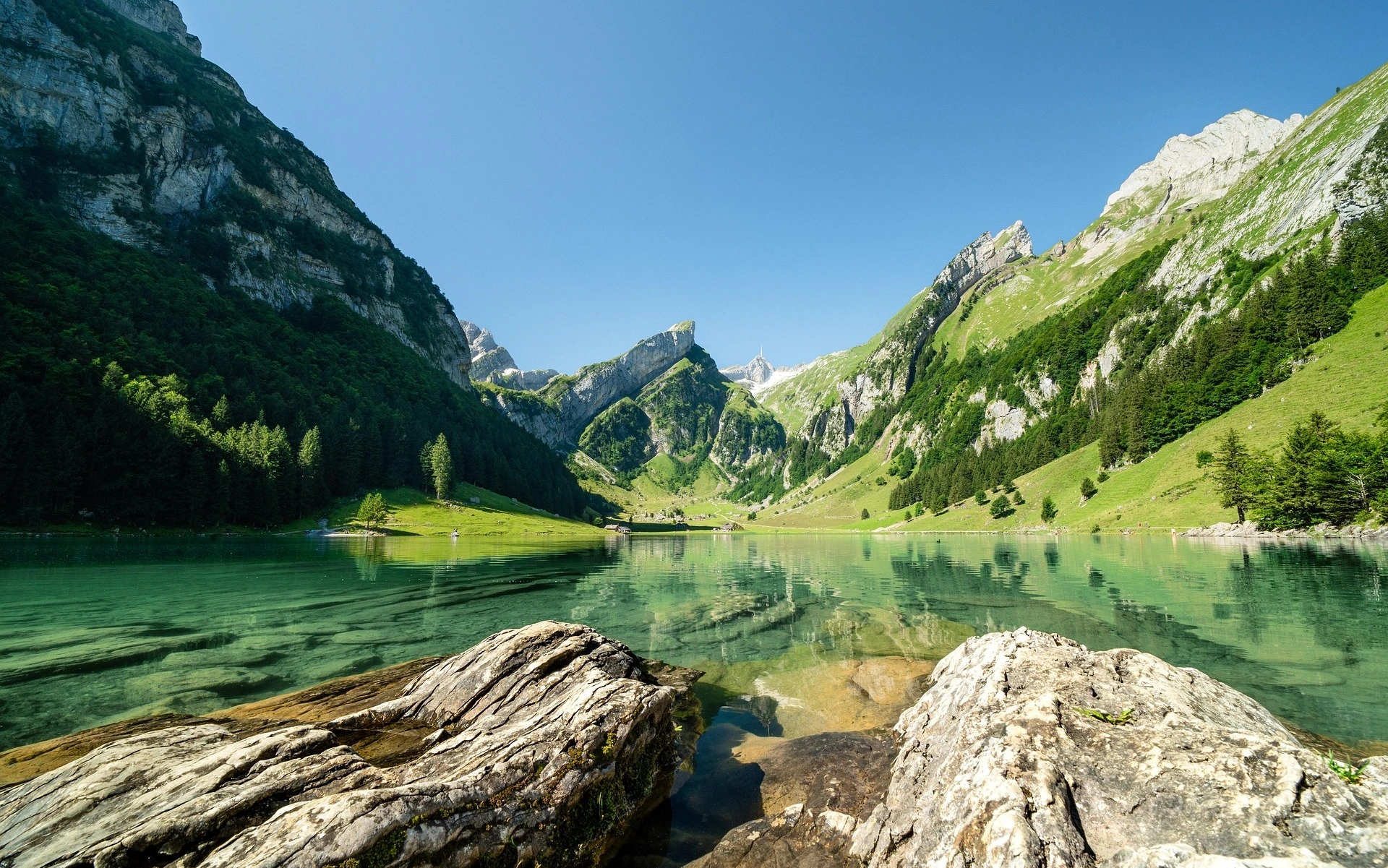
Seealpsee
The Route
Iconic Climbs
Sanetsch Pass
Your first major test, offering stunning views over the Rhône Valley and a taste of what's to come.
Sanetsch Pass
Your first major test, offering stunning views over the Rhône Valley and a taste of what's to come.
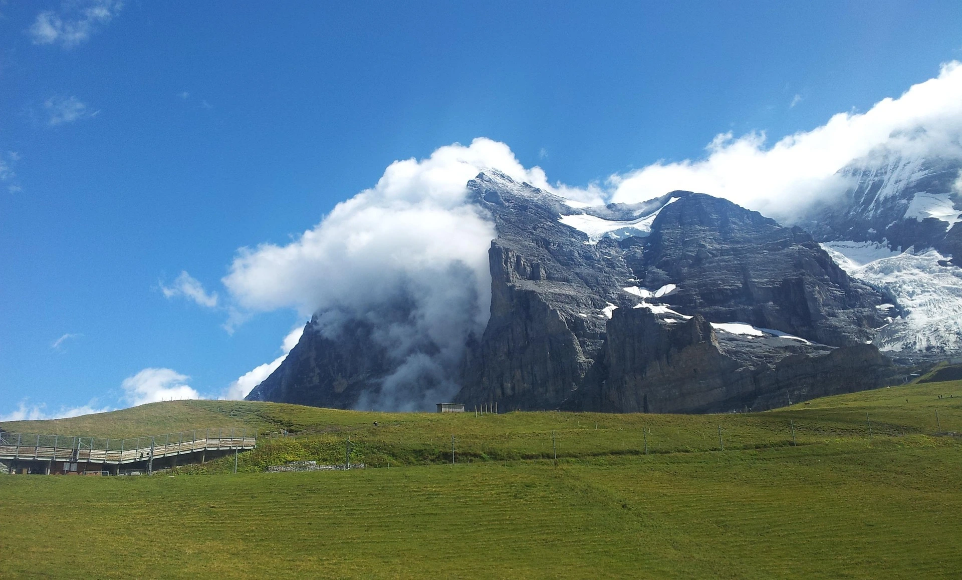
Grosse Scheidegg
Gateway to the Jungfrau region with iconic views of the Eiger North Face.
Grosse Scheidegg
Gateway to the Jungfrau region with iconic views of the Eiger North Face.
Grimsel Pass
Spectacular alpine pass connecting the Bernese Oberland with the Valais region.
Grimsel Pass
Spectacular alpine pass connecting the Bernese Oberland with the Valais region.
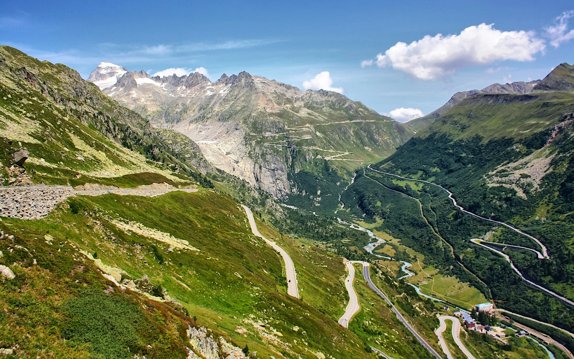
Furka Pass
The highest point of the challenge, featured in James Bond's Goldfinger.
Furka Pass
The highest point of the challenge, featured in James Bond's Goldfinger.
St. Gotthard Pass
Historic cobblestone climb, the original Gotthard Pass road with 24 hairpin bends.
St. Gotthard Pass
Historic cobblestone climb, the original Gotthard Pass road with 24 hairpin bends.
San Bernardino Pass
Ancient trade route connecting Switzerland with Italy through dramatic mountain scenery.
San Bernardino Pass
Ancient trade route connecting Switzerland with Italy through dramatic mountain scenery.
Albula Pass
Challenging climb through the heart of Graubünden with pristine alpine landscapes.
Albula Pass
Challenging climb through the heart of Graubünden with pristine alpine landscapes.
Flüela Pass
High alpine pass offering breathtaking views of the Silvretta mountain range.
Flüela Pass
High alpine pass offering breathtaking views of the Silvretta mountain range.
Kunkel Pass
Steep and technical climb through dense forests with rewarding valley views.
Kunkel Pass
Steep and technical climb through dense forests with rewarding valley views.
Oberalp Pass
Gateway between Uri and Graubünden, offering stunning views of the Rhine source.
Oberalp Pass
Gateway between Uri and Graubünden, offering stunning views of the Rhine source.
Pragel Pass
Hidden gem connecting central Switzerland with dramatic alpine meadows and lakes.
Pragel Pass
Hidden gem connecting central Switzerland with dramatic alpine meadows and lakes.
Route Characteristics
Navigation Information
The route is provided in the form of a GPX file. You can use it with your GPS device or smartphone.
Road Surfaces & Path Types
All surfaces suitable for road bikes